CAPABILITIES
Advanced Capabilities for Smarter Farming
.png?width=336&height=336&name=Picture%20(11).png)
.png?width=336&height=336&name=Picture%20(11).png)
.png?width=336&height=336&name=Picture%20(12).png)
.png?width=336&height=336&name=Picture%20(11).png)
.png?width=336&height=336&name=Picture%20(12).png)
.png?width=336&height=336&name=Picture%20(13).png)
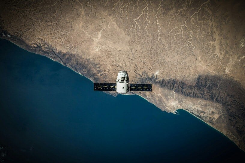
Transforming Agriculture with Satellite Precision
Using high-fidelity satellite data, we have improved the quality of risk-mitigation analysis and built automated risk monitoring solutions.
Customized Insurance Solutions
Parametrics.ag works with leaders in Agribusiness to turn complex challenges into innovative new approaches to agricultural insurance.
Digital Agronomy
Software Engineering
Product Development
GIS Mapping Systems
Digital Agronomy
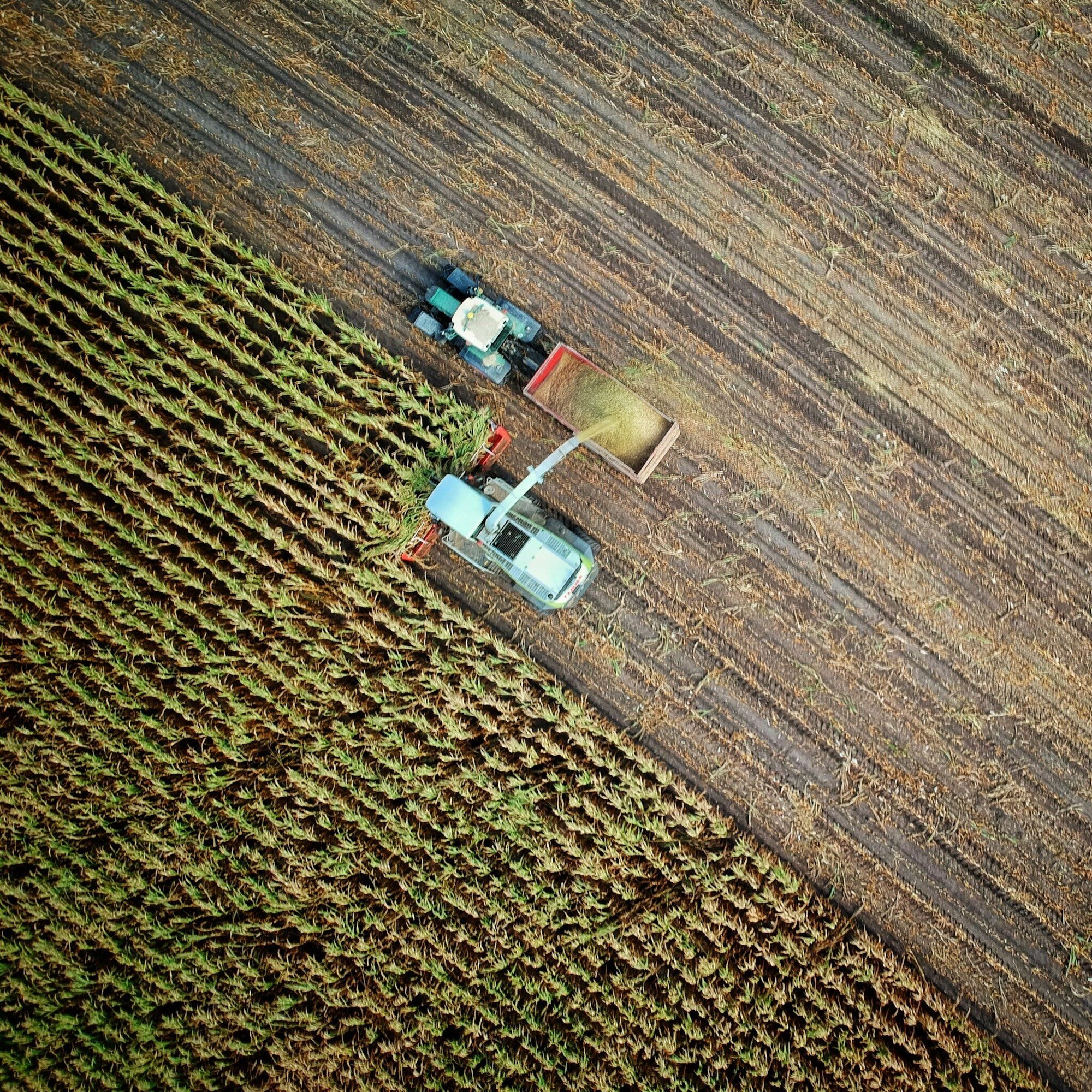
Creating access to weather and crop data to drive insights into crop health and the impact of specific weather events on crop performance. Satellite monitoring of weather systems in real time allows our systems to continuously evaluate the likely impacts of those events on the land they’re affecting.

Crop Modelling / Back-casting
We use historic, localized, yield information to predict future yields based on industry leading synthetic yield generation methodology. By leveraging our tech stack, geo-spatial environmental data, and crop performance data, we are able to produce hyper-localized models to assess the impacts of weather events crops.
Satellite Imagery Indexing
Monitoring biomass and plant health directly through the use of automated satellite imagery analysis has allowed us to remotely monitor the health of forage and assess its ability to feed the livestock it supports and build indexes that automatically trigger when land is producing below-average feed supplies.

Geospatial Weather Systems
We create high-resolution weather modelling and monitoring systems to drive analysis of weather patterns backed by 45 years of historical weather data.
Predictive Analytics
Machine learning algorithms and AI models fueled developing our predictive analytics capabilities. By examining historical weather patterns and their impact on specific crops and growing regions, these technologies can allow the company to forecast future weather events accurately. This predictive capability is essential for assessing insurance risks and designing suitable parametric insurance products.
GIS Mapping Systems
GIS technology is crucial to visualize weather data spatially. By integrating weather data with geographical maps, we can identify regions susceptible to specific weather-related risks such as excess heat, frost, droughts, or floods. This information is crucial for accurately pricing insurance policies, managing risk exposure and area-specific distribution tactics while also creating platform map visualization and navigation features for enhanced user experience.

Visualization
Creating visualization systems of historical weather data and production indicators allows us to provide an easy to digest representation of weather trends and effects on crop production.
Agriculture Peril Risk Monitoring
By monitoring agricultural perils in real-time, we are able to dynamically update in-season crop-yield predictions based on location and crop-specific perils as they unfold.

Product Design & Development
Parametrics.Ag specializes in agriculture-focused parametric risk management products and data analytics that empowers strength within the supply-chain and risk transfer for those perils that create risk for producers.

Reinsurance and Regulatory
Leveraging our extensive network and experience to facilitate the reinsurance process, we ensure that new products are backed by robust financial support and risk-sharing mechanisms. Our deep understanding of regulatory landscapes allows us to navigate complex compliance requirements, helping to accelerate product approval and market entry.
Risk Modelling & Simulation
We use advanced risk modeling and simulation software to estimate the potential losses associated with different weather events on specific crops. These simulations would consider various factors such as asset values, potential damages, and the probability of specific weather events occurring. By modeling different scenarios, we can design insurance products with appropriate coverage and premium structures.

Parametric Index Design
The creation of parametric indices with insurance triggers for each peril being monitored for a product allows us to customize insurance product structure based on the desired risk profile for any specific peril.
Actuarial Science Coordination
Our team has years of experience coordinating with actuaries on refining product models to ensure that appropriate risk-balanced models are developed. Our experience working with actuaries enables us to drive this analysis forward through every step of the process.
Analytics-as-a-Service
Leveraging a massive data set consisting of weather, soil, crop, and production information, we are able to build a deeper understanding of production outcomes based on environmental, geospatial, economic factors.

Software Engineering
We have an in-house software development team to design and maintain custom applications for data analytics, risk assessment, insurance policy design, and client management. These applications would be user-friendly, intuitive, and could be accessed from various devices, ensuring easy integration into clients' existing systems.

Portal Development
We create secure, customer-facing web portals and experiences, providing user experiences tailored to your customers.
Cloud Computing Infrastructure
Given the massive volumes of weather data collected, stored, and processed, utilizing cloud computing infrastructure is vital. This would provide scalability and flexibility in managing the product data and computational needs, ensuring the timely delivery of accurate weather analytics and insurance products.
Visualization Systems
Combining development capabilities and a deep understanding of the data that is being communicated to clients, we create experiences designed to drive understanding of complex geospatial data through visualization.

.png?width=1000&height=926&name=left%20(5).png)
.png?width=384&height=975&name=left%20(3).png)
CONTACT
Connect for Tailored Farm Solutions
Fill out the form below to set up a meeting with our team.
Powered by Global Ag Risk Solutions

Find Us
8-54 Stadacona St. W
Moose Jaw, SK, S6H 1Z1
Contact Us
info@parametrics.ag
1-877-606-4277
Start Farming in the Future